Climbs by the dozen
EuropeAs we headed south from Brønnøysund we started to see a lot more climbs. The terrain also changed from farmland to what I can only describe as Lake Tahoe at sea level. Firs and pines covered the hillsides, with the steeper cliffs plunging into the salt water.
We met a French couple at the very nice campground outside of Kolvereid. The guy was just finishing up a two-and-a-half year tour! His girlfriend joined him for the Norway portion. He warned us about a nasty storm heading our way over the weekend. A quick search confirmed his warning. Rain and strong winds were going to blow through.
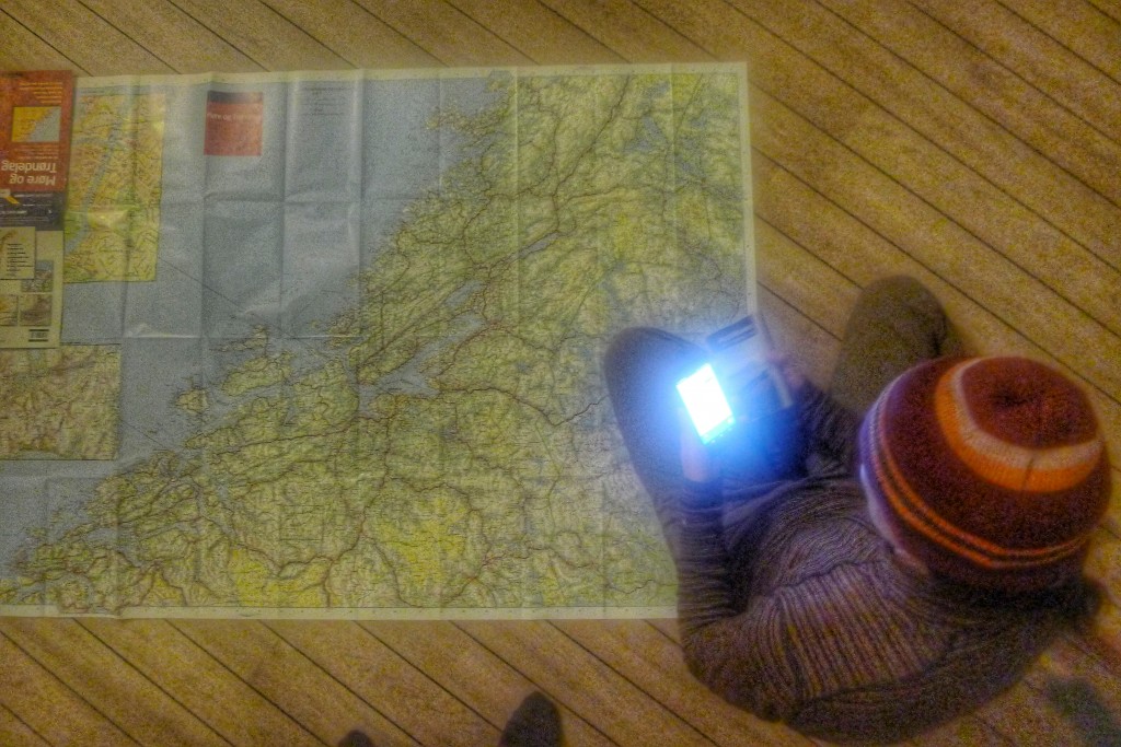
Carrie and I busted out our huge regional map to plan for the storm. We decided the best course of action was to haul buns to Trondheim and hole up in a hostel. That would mean the next three days we’d need to ride 300km, doable but almost at our limit.