Day 2: Lost and Found
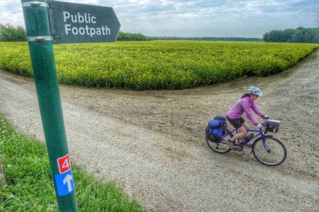
EuropeIt was a mistake not to bring maps or a gps tracker. Today we were at the mercy of the small Route 4 signs to guide us to our next destination. While plentiful, the signs were often obscured by overgrown bushes or in locations it took us some extended searching to find.
Depending on the route markers also meant that we had no idea how to find anything else. We needed to find food, a butane canister for our stove, and our next campsite for the day.
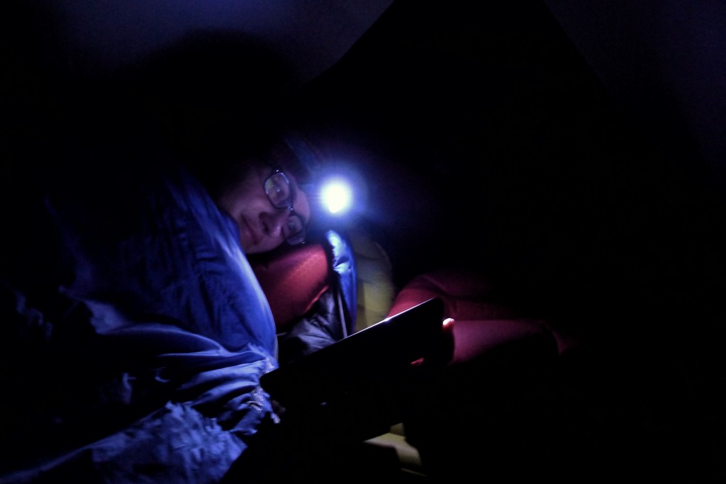
When we reached the city of Reading, we eventually found the food and the fuel, but spent hours trying to figure out where to go to camp for the night. Book stores and bike shops don’t sell maps with listed campgrounds. We have to rely on hard to find wi-fi so my phone can command the power of Google. Once we leave said hotspot, we then have to rely on the instructions we wrote down and a detail denuded GPS app to see us through. We’ll have to come up with a better solution.